PLATINUM Plus+ Cartography
NAVIONICS Platinum Plus+ charts include all the content of Navionics+ cartography, with integrated offshore and inland mapping, 42,000+ lakes and additional viewing options for relief shading, satellite imagery with SonarChart shading overlay, 3D perspective view, aerial photos and more.
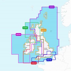
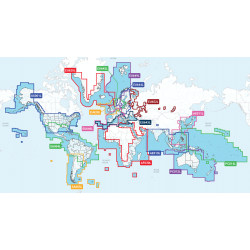
Choose from a range of Regular or Large Coverage Areas
If the Chart Area you're interested in is not listed please email sales@prscomms.co.uk